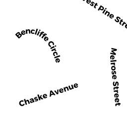
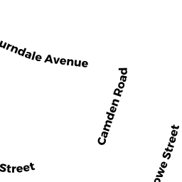
17 WEST PINE ST
Owner Information
CHAIMANIS JOHN R & GINA A
17 WEST PINE ST
AUBURNDALE, MA 02466


Property Details
17 WEST PINE ST is classified as a Single Family Residential (Colonial).
The primary structure on this property was built in 2019. There are 6,564ft2 of built area within this property. There is 3,871ft2 of residential/living space within this property. This property is listed as having 10 rooms.
17 WEST PINE ST is valued at $1,905,200. The land is valued at $790,700 and the structures are valued at $1,114,500.
This property is in Zone SR3. Confirm with local Zoning Board authorities to ensure there are no overlays or other easements on this property.
The most recent deed for 17 WEST PINE ST is recorded at the local registrar in Book 74405, Page 85. 17 WEST PINE ST was last sold on Thursday, April 2, 2020 for $1,900,000.
Assessment data from fiscal year 2022.
Flood Data
According to the FEMA National Flood Hazard Layer, this property does not appear to be in a flood zone. It may also be in an area not yet reviewed. Nonetheless, confirm this information prior to taking any action.
To view the flood hazards around this property, create a FEMA "Firmette" Map of the area around 17 WEST PINE ST.
Broadband Internet Providers
| Provider | Type | Bandwidth (mbps) | |
|---|---|---|---|
| HughesNet | Satellite | 25 | 3 |
| Comcast | Cable | 1000 | 35 |
| Verizon New England Inc. | Fiber | 940 | 880 |
| Viasat Inc | Satellite | 100 | 3 |
| VSAT Systems, LLC. | Satellite | 2 | 1 |
| RCN | Cable | 500 | 20 |
| T-Mobile | Fixed Wireless | 25 | 3 |
| GCI Communication Corp. | Satellite | 0 | 0 |
Broadband service provider data from December 2020.
Adjacent Properties
- 29 WEST PINE ST
Single Family Residential owned by ARSENAULT THEODORE J & PATRICIA J - WEST PINE ST
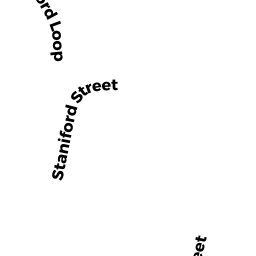
Undevelopable Residential Land owned by O'HARE JOHN & DANIEL & MARK TRS - 102 STANIFORD ST
Single Family Residential owned by CAREY RICHARD J & PATRICIA M - 9 WEST PINE ST
Single Family Residential owned by O'HARE JOHN & DANIEL & MARK TRS - 47 FREEMAN ST
Single Family Residential owned by KENNEDY MARY